← Back to Map Challenge
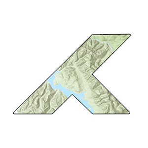
Lake Shasta Water Levels
Tracking California's largest reservoir through drought and recovery (2014-2024)
2014
Loading...
2014 2019 2024
California Drought Context
2012-2016: Severe drought
2017-2019: Recovery period
2020-2022: Return to drought
2023: Wet year recovery
Technical Details
Data Source: Landsat 8/9 Collection 2 Level 2
Analysis Platform: Google Earth Engine
Time Period: July-August (peak summer)
Cloud Cover: <10% per image
Method: NDWI = (Green - NIR) / (Green + NIR)
Water Threshold: NDWI > 0.0
Resolution: 30m Landsat pixels