About Kuruka
Geospatial expertise with a boots-on-the-ground mindset.
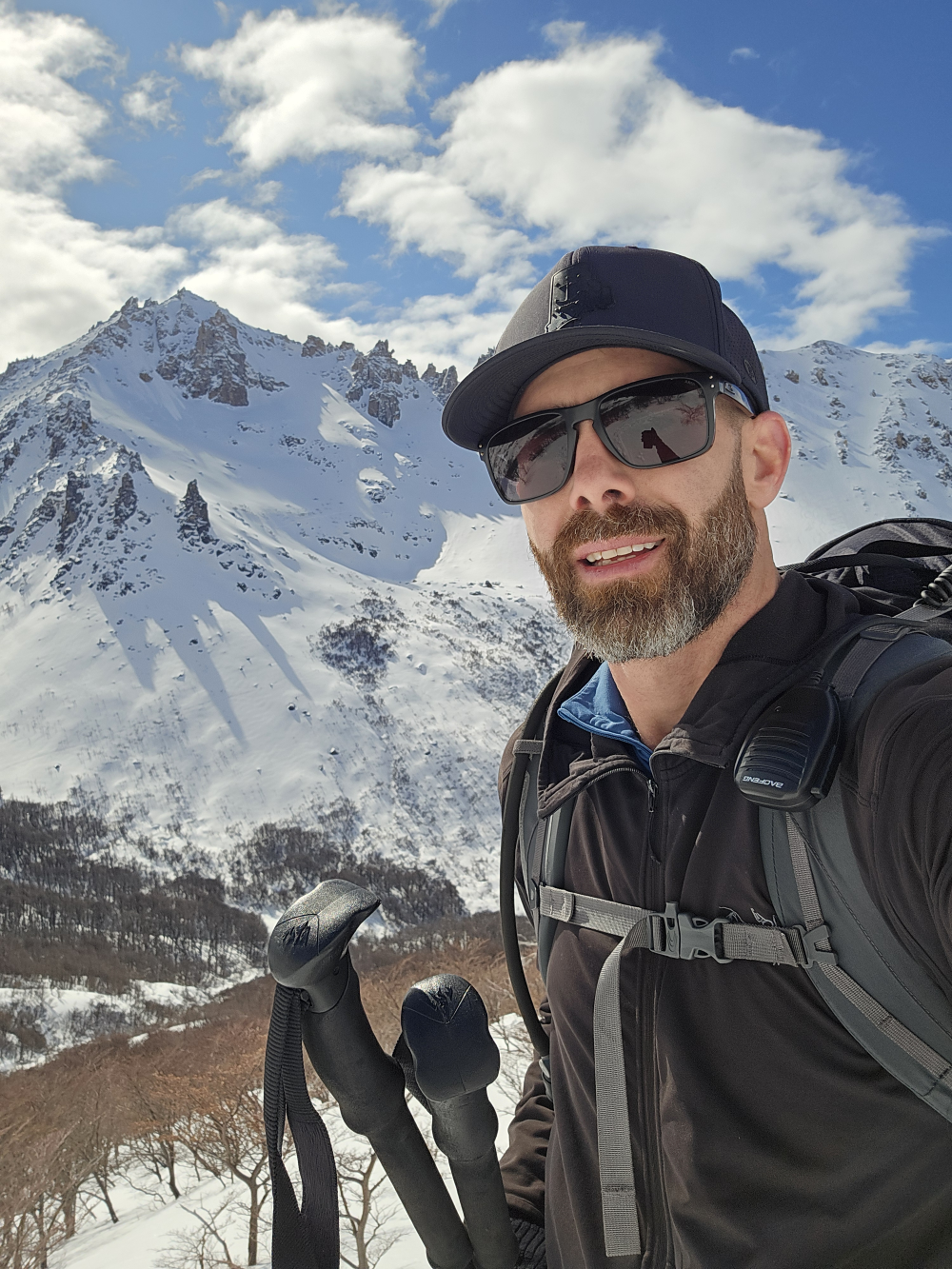
Mike Peckham
I started Kuruka Solutions in 2021 because I kept seeing the same gap, the realities in the field weren't making it into the stategies that drove mutli-million-dollar decisions. My early years in the military drilled in the idea that geography isn't background scenery, it's what decides outcomes. Working on wildfire assignments, I learned how quickly bad or delayed data turns into real-world risk.
Drones gave me a way to capture that ground truth. I wanted to translate it into something strategic decision makers could act on without extra meetings. So I went back to school for geography with a GIS focus, sharpening the technical side while keeping the "boots-on-the-ground" mindset. Kuruka now blends those threads together with a mix of mission discipline, emergency-response urgency, and data science all into lean geoprocessing tools and AI-powered workflows. The goal is simple: deliver clear, defensible solutions for teams, fast enough to keep projects moving and grounded enough to trust when you're standing on site.
Our Services
We offer a comprehensive range of geospatial services to meet your needs. From data analysis to custom web applications, our expertise is at your service.
Here are some general categories of what we do on a weekly basis.