My Data
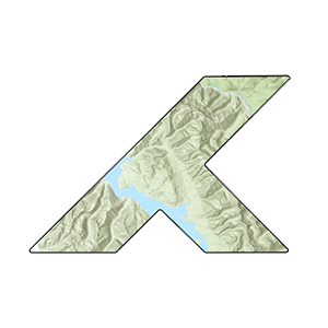
Wy'east Trailfest 50K - Mt. Hood, Oregon
Here's some of my data and some friends' data that they exported from Strava and sent over to me. This is what happens when one friend turns 40 and wants to run 40 miles, so we compromise on 40k for 40 years and end up running a 50k because 40k races are hard to find.
Three of us took on 31 miles and 7,000 feet of gain through brutal volcano terrain up Mt. Hood and somehow finished in one piece. We were holding our own until Jordana came flying past in the final stretch and made the rest of us look like we were standing still.
The GPS data came straight out of Strava, except for our one legendary friend Trey, who doesn't use it and still crushed the 50 miler. We probably wouldn't have included his data anyway since it would've made the rest of us look bad.
Technologies & Data Collection
Mapbox GL JS 3D Terrain • GPX to GeoJSON • Satellite Imagery • Camera Animation
Camera animation uses Mapbox GL JS's map.flyTo() for smooth arcing motion during runner tracking and animate() for a clean (for my skills), cinematic rotation.
GPS Recording Devices:
Mike: Garmin Fenix 7 (29,506 points)
Sam: Garmin Forerunner 945 (10,741 points)
Jordana: Garmin Forerunner 255 (5,853 points)
Point density varies a lot between GPS devices. The Fenix 7 captured about 3x more points than the 945 and 5x more than the 255. When you’re collecting geospatial data, the device you use directly affects the quality and spatial resolution of what you end up with.