Contact
Back to Challenge
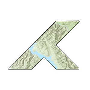
Day 19
Map Projections
Visualizing Distortion in Alaska
Every map projection distorts the Earth in some way. Alaska is the perfect example because its high latitude and large size make these distortions obvious. Compare how the same state looks in different projections.
Understanding Distortions
Mercator: Preserves angles (conformal) but massively inflates polar areas. Alaska appears 2.5x larger than actual size.
Albers: Preserves area (equal-area) and is commonly used for US maps. Alaska shows its true relative size.
Equal Earth: Modern equal-area projection with pleasing aesthetics. Shows true relative sizes globally.
Winkel Tripel: Compromise projection used by National Geographic. Minimizes distortion of area, direction, and distance simultaneously.
Live Pixel Measurements
Alaska's screen size in each projection (updates as you pan/zoom):
Data Source
Alaska boundary from US Census Bureau. Basemap from Mapbox.
Mercator
Albers USA
Equal Earth
Winkel Tripel